Selection By Subject: “Plant and Forest Pathology”
Records: 14
Research Articles
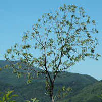
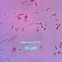
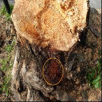
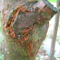
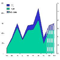
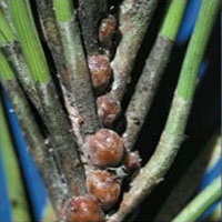
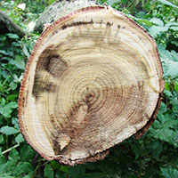
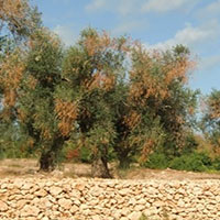
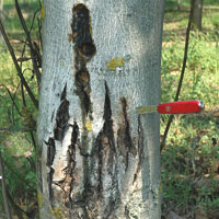
Bark necrosis by Brenneria nigrifluens and other bacteria on walnut plantations in Piedmont: analysis of the disease evolution in the field and isolate characterization by rep-PCR
vol. 11, pp. 180-188 - online: 01, 20 N - doi: 10.3832/efor1335-011